Our Solution
Geo RTD and RMS
This system is particularly valuable for businesses seeking to modernize and streamline their distribution networks. It combines cutting-edge technology with practical solutions to enhance operational efficiency and sustainability.
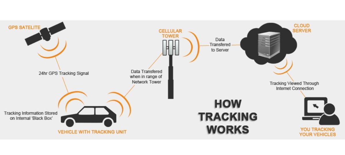
GTI has developed an accurate GIS-based Round Trip Distance (RTD) Route Management System (RMS) for identifying the shortest all-weather motorable routes for transportation of vehicles between the supply and delivery locations.
This web-based application is ideal for distribution network entities to optimize their resources and reduce operational costs. By leveraging real-time traffic data and predictive analytics, the system ensures seamless route planning, improved fuel efficiency, and timely deliveries.
Geo RTD & RMS
Modules

Admin Panel
A centralized dashboard for managing the application and its users. Role-based access control to ensure only authorized personnel can access specific functionalities.

Hierarchical Structure
The multi-level approval process ensures route-related decisions are reviewed by required stakeholders. Its configurable hierarchy lets admins define roles.
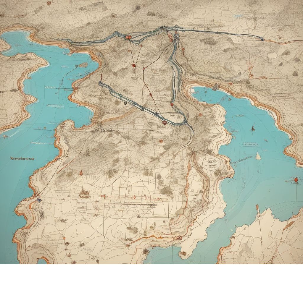
Manual route creation
Map-based interface for route creation and customization. Manual plotting of routes, ensuring flexibility for non-standard paths.
Why Geo RTD & RMS
Benefits
Enhanced Operational Efficiency
Enhanced Operational Efficiency
Centralized admin panel streamlines workflows and reduces administrative overhead.
Improved Control and Security
Improved Control and Security
Role-based access control ensures only authorized personnel access specific functionalities.
Accountability and Transparency
Accountability and Transparency
Hierarchical approval structure tracks decisions, ensuring all actions are properly vetted and documented.
